
The Thurston County Board of County Commissioners held a public hearing yesterday, January 16, to collect community comments on the proposed changes to the counties Agriculture Code.
Community Planning & Economic Development (CPED) Senior Planner Maya Teeple introduced the agricultural code amendments.
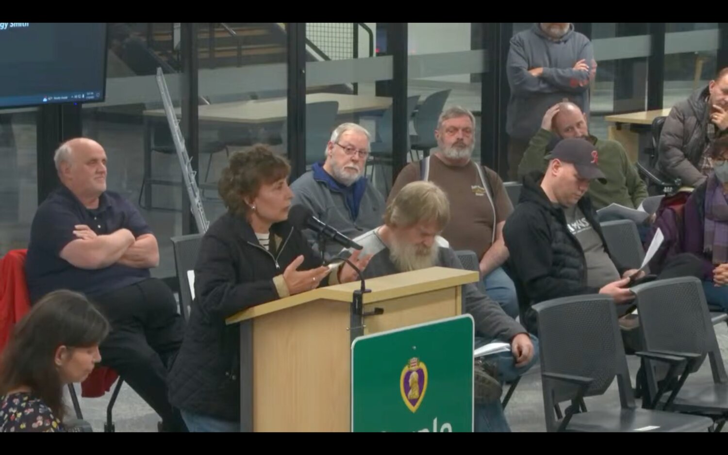
“Today’s public hearing is an opportunity to accept and consider public testimony on agriculture-related code amendments specifically to our long-term agriculture zoning district and the Agritourism Overlay District,” said Teeple.
The current amendments do not include changes to zoning maps, land use maps, or policies within the comprehensive plan.
Teeple also explained that they separated the code and map amendments because the agriculture community widely supports the code as it allegedly improves agricultural viability and resolves ongoing permitting challenges by clarifying regulations.
“A few reasons we’re holding off on the maps and the soil considerations — the first reason is that there was some new data that was released late last year from the United States Department of Agriculture (USDA), so we need to redraft all of our maps,” said Teeple.
Aside from the new USDA data, the department also had just backfilled the GIS [Geographic Information System software] Analyst position, who may take some time getting used to the mapping process.
“Second reason is once those maps are updated, we will re-engage and re-notify all of the affected landowners so that they can participate in the public process and they'll be notified prior to any hearing on that,” Teeple added.
John, a concerned citizen, raised an issue on the misalignment of the state and the county’s definition of agritourism and how the outdated overlay map is “inappropriate.”
“You saw that map, why doesn't that map cover all of Thurston County and all the parcels that would meet the criteria, for being able to use agritourism as an overlay or purpose for use of their property?” said John. “You're making decisions based on an area that you don't even actually know yet because you haven't got the new maps – how do you approve something when you do not even know who it's going to apply to? It is inappropriate, and it should be delayed. "
Community Farm Land Trust Co-chair Marcie Cleaver lauded the board’s efforts in listening to farmers’ concerns on farmland loss.
“I want to thank the Board of Commissioners for agreeing, I think three or four years ago, to even look at the concern that citizens of the community had in regards to the loss of farmland in Thurston County. I'm glad to see that it's culminated today in some changes that are made to help farmers diversify their income on their land,” said Cleaver.
Cleaver also thanked the volunteers who helped in the changes, and she emphasized the importance of making farmers economically viable to prevent them from selling their land and for it to be developed.
The commissioners will review the presentation and public testimony before adopting the changes.
The next work session will be on Thursday, January 25.


1 comment on this item Please log in to comment by clicking here
Claire
The GIS Analyst new-hire should be already familiar with the mapping system. This isn't a learn-as-you-go position. Once again, another reason Thurston County is BROKE.
Wednesday, January 17 Report this